demo image
Journal Image

Specialized for processing 3D scan data - nanoCAD 3DScan

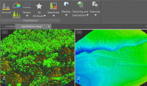
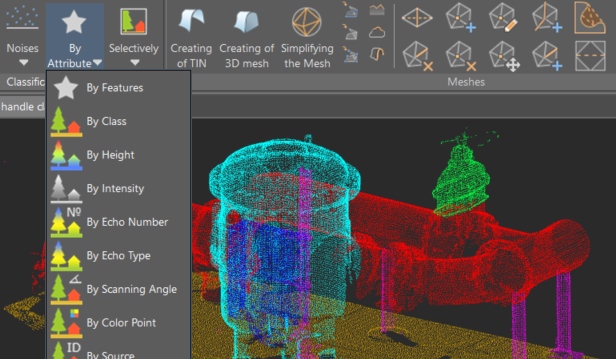
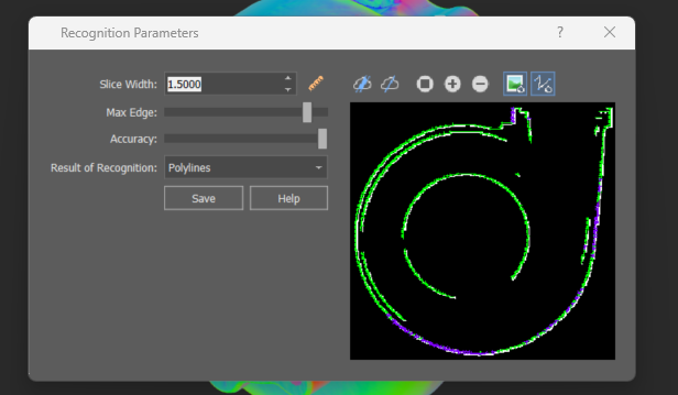
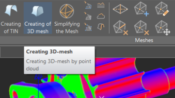
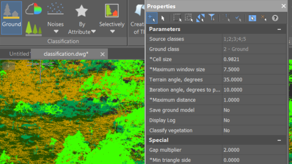
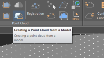
nanoCAD 3DScan is the latest vertical application designed for professionals across various industries, including geodesy, construction, mechanical engineering, and more. It seamlessly integrates with the nanoCAD platform, enhancing your ability to process and analyze 3D scanning data with precision and efficiency..

Download Now


Features Included

Journal Image

Classifying and verifying ground

nanoCAD’s PressPull tool allows you to align selected model elements. Simply select a face that needs to be aligned and then click on the object to be aligned with.


Creation and editing of 3D meshes

The command conducts 3D triangulation of volumetric object point clouds, creating meshes that can be used for triangulating buildings and other surface structures.

Journal Image

Journal Image

Comparison of point clouds

The tool enables evaluation of the degree of alignment between two point clouds or between a point cloud and a model.


Quality assurance of registration and error control

Monitoring deviations at each point enables assessment of the registration quality. Reference points with significant discrepancies can be excluded or their weights adjusted, followed by a repeat registration.

Journal Image

Journal Image

Ground classification and verification

An algorithm for automatic ground identification, complemented by a ground verification command that allows for manual refinement of automatically classified points


Copyright 2014 © CSoft. All rights reserved - csoft.in

Cookie Consent

Our website uses cookies to enhance your browsing experience and provide relevant information. By continuing to use our website, you agree to and accept our Cookie Policy and Privacy Policy.